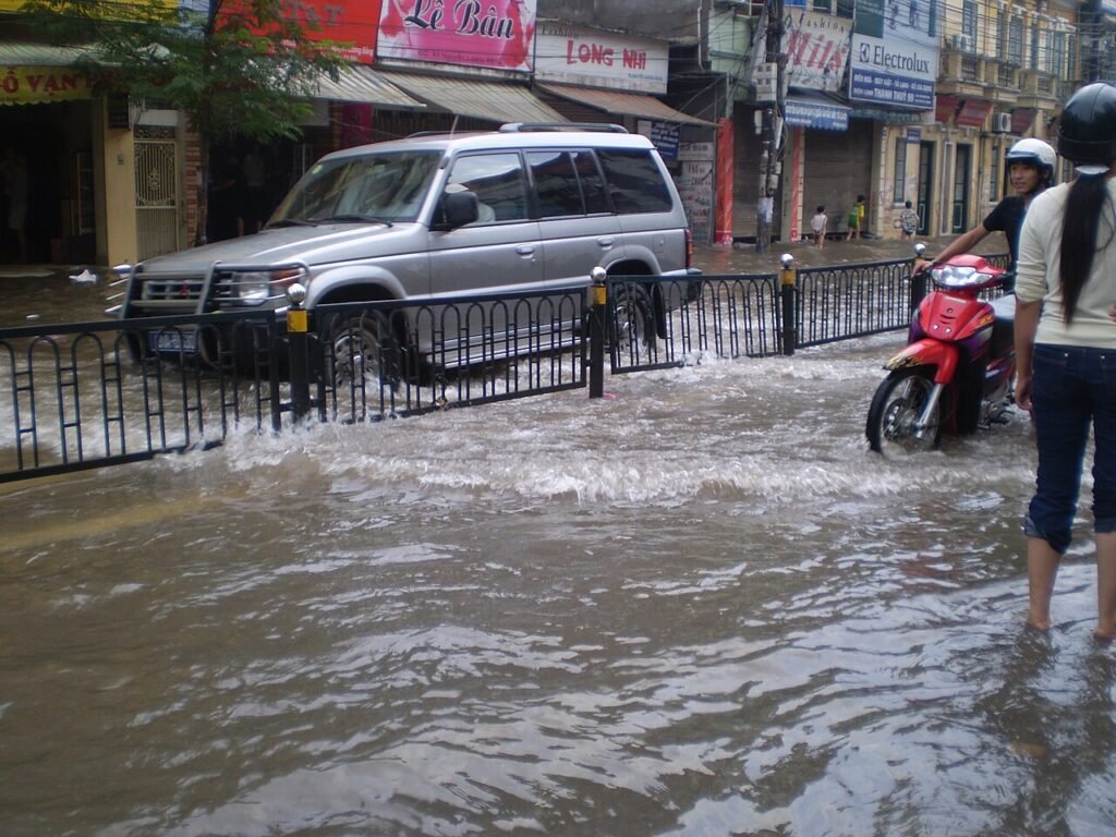
The Central Vietnam floods landslides evacuations began after days of torrential rain that swelled rivers across the central provinces. Floods, landslides and evacuations were reported in provinces from Hue to Gia Lai, as one of the wettest spells of the season tested roads, rivers and hillsides. Authorities moved families to safety, closed mountain passes and watched river levels rise toward alert thresholds.
On 10 November, between 7 am and 8 pm, rainfall exceeded 280 mm in places, including 320 mm at Tra Thanh in Quang Ngai, 288.2 mm at Bach Ma peak in Hue and 283.8 mm at Tra Leng in Danang, according to the National Centre for Hydro-Meteorological Forecasting, known as NCHMF, cited by Dan Tri. Those figures, recorded in only 13 hours, show the intensity of the rain that fell on already saturated ground.
In the Central Vietnam floods landslides evacuations, Dan Tri reported 545 mm of rain in some areas of Quang Ngai on 11 November, and the Tra Khuc river stood at 0.25 metres below alert level 2 on the night of 10 to 11 November. A river that close to its alert level leaves little margin for further rain, and it explains why local authorities treated the situation with urgency, even before the worst of the flooding arrived.
Central Vietnam floods landslides evacuations move hundreds to safety
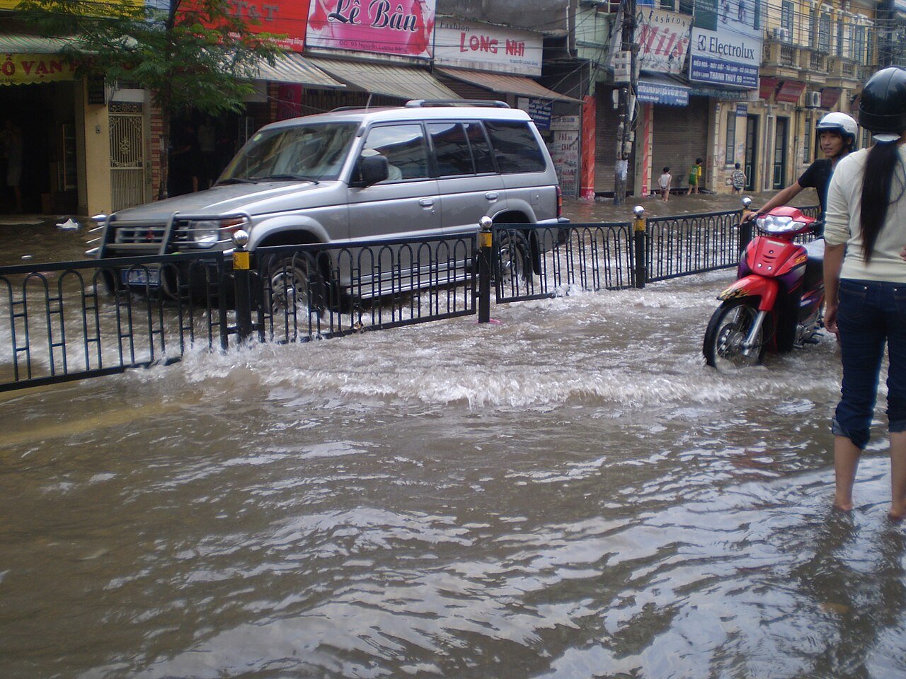
The Central Vietnam floods landslides evacuations moved hundreds of people from homes at risk. Authorities in Ngoc Linh evacuated 115 households, nearly 400 people, after cracks appeared on a mountain slope. In Gia Lai, the evacuation of 68 households near Mot, Ba Hoa and Ganh mountains was extended until 12 November. Those decisions were taken before disaster struck, in the hope of preventing deaths and injuries from a slope that could give way without warning.
During the Central Vietnam floods landslides evacuations, landslides blocked roads in Danang, Quang Ngai and Quang Tri, and the Nha Sam pass in Gia Lai province was closed. Mountain roads in central Vietnam are vulnerable to landslides after heavy rain, and a single blocked road can cut off a whole community, delaying both evacuation and the arrival of aid. The closures therefore added to the pressure on local authorities, who had to manage both the flooding in the valleys and the instability on the slopes above.
Three reservoirs in Khanh Hoa province began releasing water on 11 November during the Central Vietnam floods landslides evacuations and will continue until 16 November. Controlled releases are a standard response when reservoirs fill rapidly, but they also add water to rivers downstream, and they must be coordinated with flood warnings to give people time to move. The releases show how the rain affected not only natural rivers but the whole system of dams and reservoirs that manage water across the region.
The NCHMF forecasts a gradual easing of rain from 12 November, but flood and landslide alerts remain in force. That forecast offers some hope, but it does not end the danger, because rivers can remain high for days after the rain stops, and saturated slopes can still collapse. The alerts will therefore stay in place until water levels fall and the ground has had time to drain.
No deaths reported as alerts remain in force
The Central Vietnam floods landslides evacuations have so far been carried out without loss of life. No deaths or injuries had been reported in Dan Tri reports of 11 November, a fact that reflects both the early evacuations and the work of local officials in warning communities at risk. In a region that has seen deadly floods and landslides in past years, that outcome is a measure of how much the response has improved, even as the weather itself has become more extreme.
Central Vietnam is exposed to heavy rain in the autumn, when tropical systems bring moist air from the sea onto the mountains of the interior. The steep terrain means rain runs quickly into rivers, and the narrow coastal plain leaves little room for water to spread. That geography makes the region prone to flash floods and landslides, and it means that a few days of intense rain can cause disruption across several provinces at once.
The Central Vietnam floods landslides evacuations will be followed by a test of recovery in the coming days, as much as of response. Roads will need to be cleared, homes checked for damage, and families supported until they can return safely. Reservoirs will continue to release water, rivers will be monitored, and the alerts will remain until the risk has passed. For the people of central Vietnam, the rain may be easing, but the work of dealing with its effects is only beginning.
Source: Orbis Weather